| The Library of Virginia >> Who We Are >> Exhibitions >> Maps, Charts & Atlases |
 |
|
The Alan M. Voorhees Collection at the Library of Virginia March 1, 2004 - July 3, 2004 |
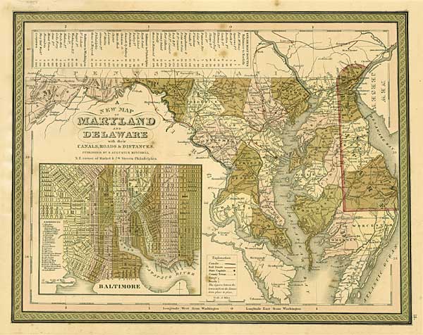
| A NEW MAP OF MARYLAND AND DELAWARE with their CANALS, ROADS & DISTANCES. S. Augustus Mitchell (1792–1868). Philadelphia. 1849. Lithographic engraving with hand-color. |
 |