

Maps and Formation Information for Lancaster through Lunenburg Counties
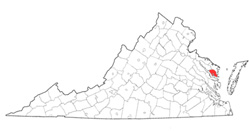 Lancaster
County was named for the English county. It was formed from
Northumberland and York Counties in 1651. Its area is 136.5 square
miles, and the county seat is Lancaster. [Back]
Lancaster
County was named for the English county. It was formed from
Northumberland and York Counties in 1651. Its area is 136.5 square
miles, and the county seat is Lancaster. [Back]
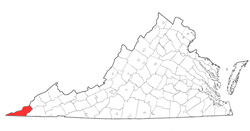 Lee
County was named Henry "Light Horse Harry" Lee, governor of
Virginia from 1791 to 1794. It was formed from Russell
County in 1792. Part of Scott County was added in 1823.
Its area is 438 square miles, and the county seat is Jonesville.
[Back]
Lee
County was named Henry "Light Horse Harry" Lee, governor of
Virginia from 1791 to 1794. It was formed from Russell
County in 1792. Part of Scott County was added in 1823.
Its area is 438 square miles, and the county seat is Jonesville.
[Back]
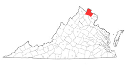 Loudoun
County was named for John Campbell, fourth earl of Loudoun, who
was commander of British forces in North America during the early
portion of the French and Indian War and governor of Virginia
from 1756 to 1759. It was formed from Fairfax County in
1757. Its area is 512 square miles, and the county seat is
Leesburg. [Back]
Loudoun
County was named for John Campbell, fourth earl of Loudoun, who
was commander of British forces in North America during the early
portion of the French and Indian War and governor of Virginia
from 1756 to 1759. It was formed from Fairfax County in
1757. Its area is 512 square miles, and the county seat is
Leesburg. [Back]
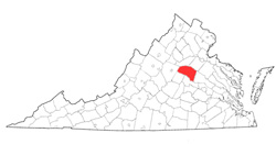 Louisa County was named for
Louisa, a daughter of George II. It was formed from Hanover
County in 1742. Its area is 514 square miles, and the
county seat is Louisa. [Back]
Louisa County was named for
Louisa, a daughter of George II. It was formed from Hanover
County in 1742. Its area is 514 square miles, and the
county seat is Louisa. [Back]
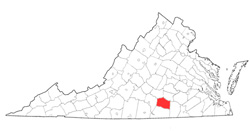 Lunenburg
County was named for George II, duke of Brunswick-Lüneburg,
a German possession of the Hanoverian kings of England. It
was formed from Brunswick County in 1745. Its area is 443
square miles, and the county seat is Lunenburg. [Back]
Lunenburg
County was named for George II, duke of Brunswick-Lüneburg,
a German possession of the Hanoverian kings of England. It
was formed from Brunswick County in 1745. Its area is 443
square miles, and the county seat is Lunenburg. [Back]
