
Mapping the Commonwealth, 1816–1826
On view from Oct. 21, 2024–June 7, 2025, Mapping the Commonwealth presented examples from 40 manuscript maps that highlight the painstaking task of creating Virginia’s first official state map early in the 19th century. Combining art and science, these surveys attest to the dedication, skill and stamina of surveying teams who worked without the benefit of GPS and today’s technology.
Creating a Map of Virginia
The War of 1812 highlighted the nation’s woeful state of transportation, and the states initiated internal improvement projects, such as building canals, roads, and turnpikes, to promote and connect American markets, and to improve the flow of technology and information between urban and rural areas. Virginia’s General Assembly created the Board of Public Works to oversee the construction of the Commonwealth’s internal improvements — work that required an accurate map of the state.
Surveyors from the United States, Denmark, France, and Scotland were employed to help survey and create a general map of Virginia. Scottish native John Wood became the principal surveyor to oversee the surveying and mapping of each Virginia county. When Wood died in 1822, Herman Bőÿe, originally from Denmark, became principal surveyor and completed the project.
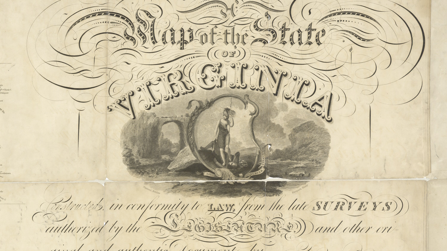
Printed in nine sheets in 1826, Virginia’s first official state map measured 99 by 64 inches, or 44 square feet. A reduced-size map was published in 1827.


Creating Maps of Virginia’s Counties
When surveying began in 1816, there were few maps and little precise information about the topography of Virginia. Surveyors used a compass, tripod, levels and chains to determine county boundaries, chart important water features, and describe major stage and postal roads. They created their maps in the field with pencil and pen. John Wood and Herman Bőÿe reviewed the work for accuracy, as did county delegates and other people who had local knowledge of the area. These county maps were used to draft the general map, which was completed in 1825.
Surviving county maps created under the direction of John Wood and Herman Bőÿe are part of our Board of Public Works Map Collection. These and other county maps can also be found in our Cadastral Surveys and County Maps Digital Collection.
Additional Resources
Explore our exhibition StoryMap, watch In the Gallery videos, read posts from The UncommonWealth blog, and visit our research guide to learn more about how Virginia's first official state map was created.

Mapping the Commonwealth Story Map
View our StoryMap to learn more about how Virginia’s first official state map was created.

Making the General Map of Virginia
The Library's senior map archivist discusses how surveying teams produced the detailed county maps used to create Virginia's first official state map.

In the Gallery Videos
Watch our In the Gallery videos to learn more about some of the items and maps displayed in the Library’s exhibition.
Research Guide
View the Library’s research guide to find maps and other exhibition-related resources.
The UncommonWealth Blog
Visit The UncommonWealth to learn more about the surveyors and mapmakers who created Virginia’s first official state map.